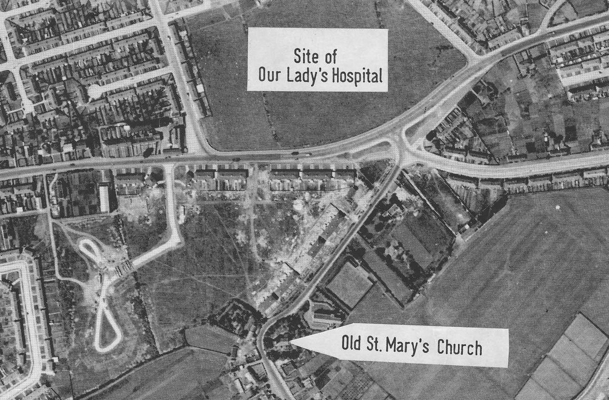
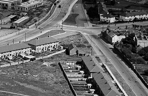
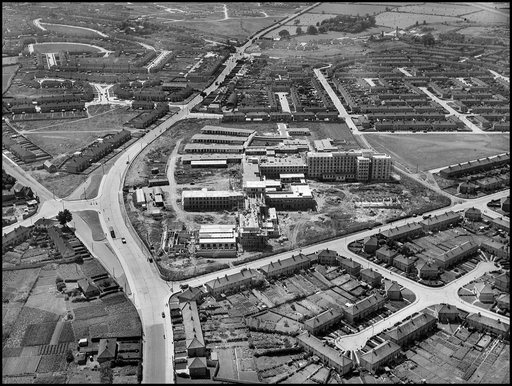
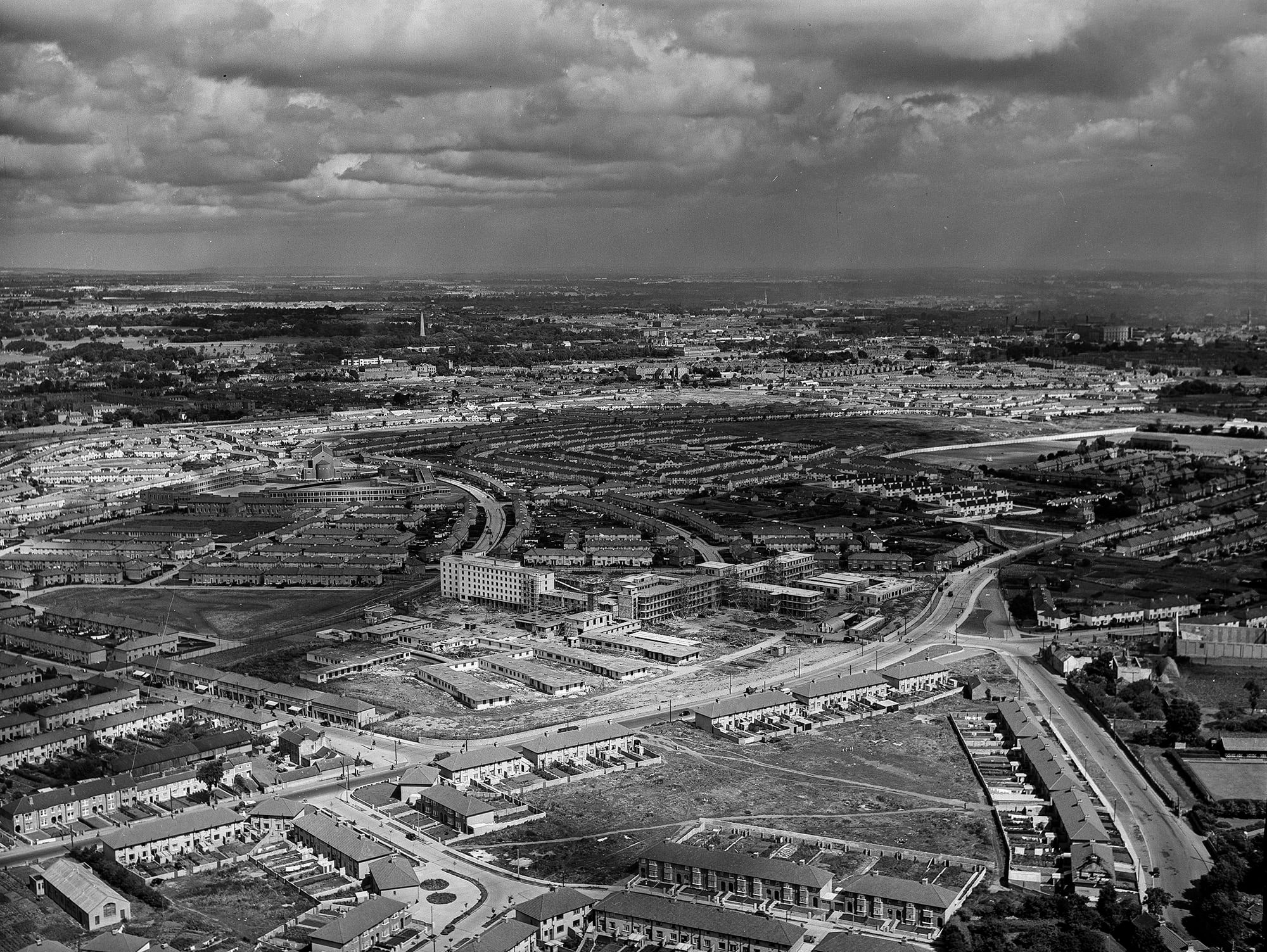
Aerial photo of Crumlin, 1952.
View from NE.
During the period when the Children's Hospital was being built (1949-1956).
New housing is being built on the Collins farm.
Looks like a remnant of the
Collins buildings still exists.
From
The Old Drone: Norman Ashe Aerial Photographic Collection.
Norman Ashe photos are 1952-1954.
See full size.
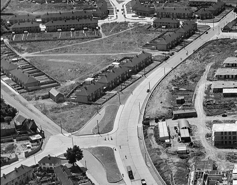
Close-up of the possible remnant of the
Collins buildings.
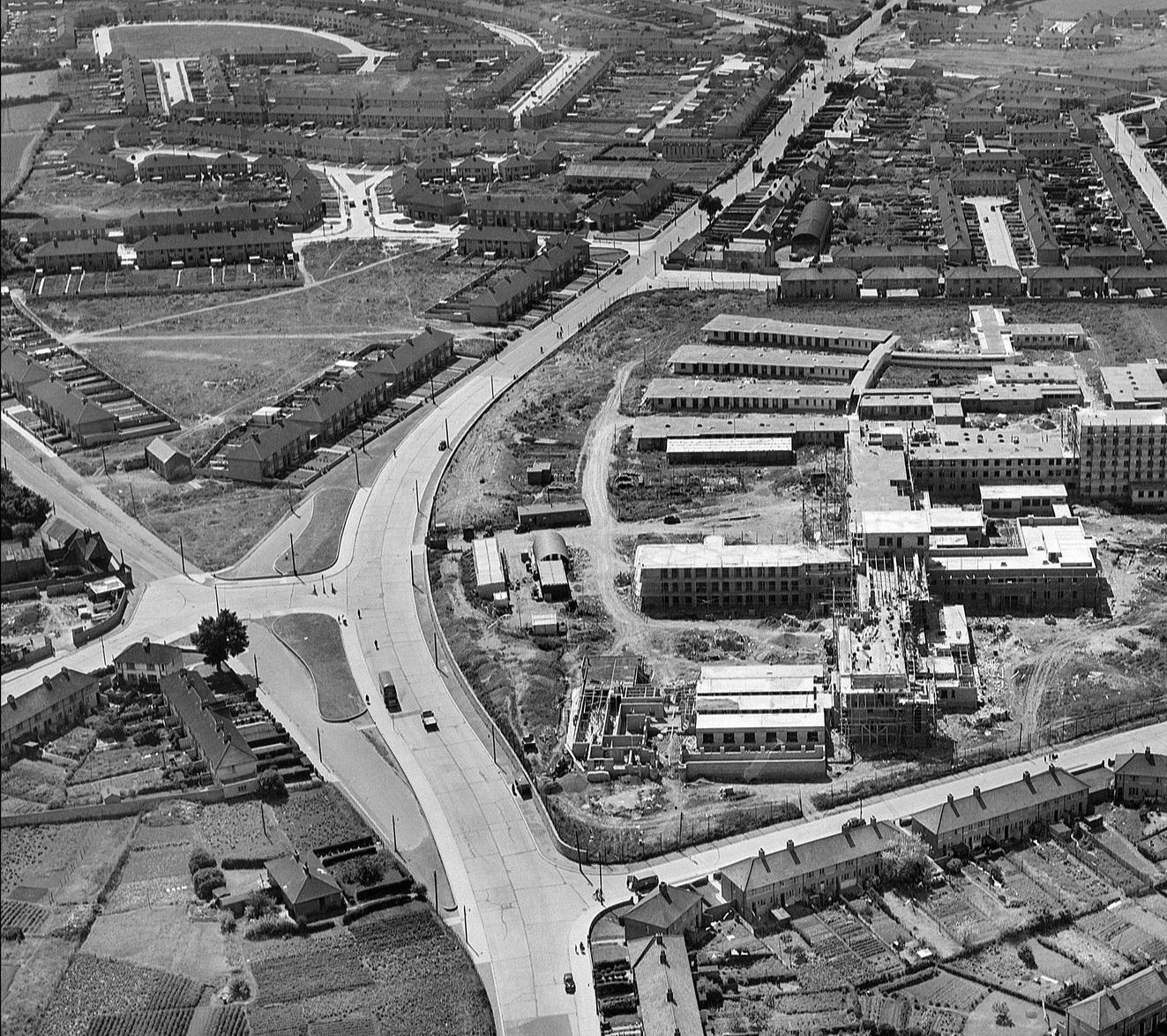
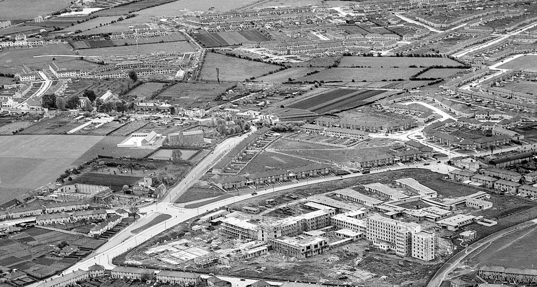
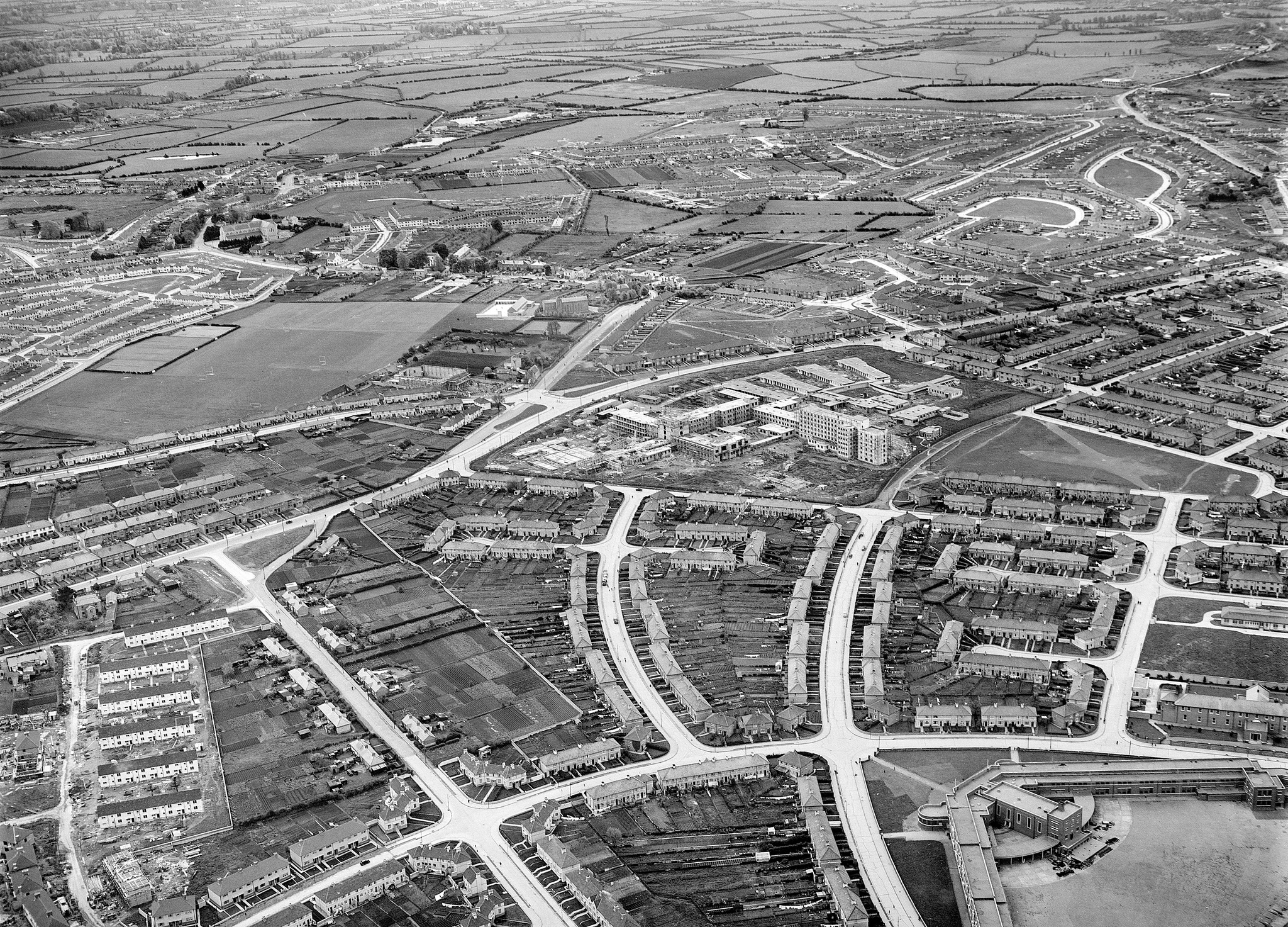
Aerial photo of Crumlin, 1952.
View from S.
From
The Old Drone: Norman Ashe Aerial Photographic Collection.
See full size.
Close-up of the possible remnant of the
Collins buildings.
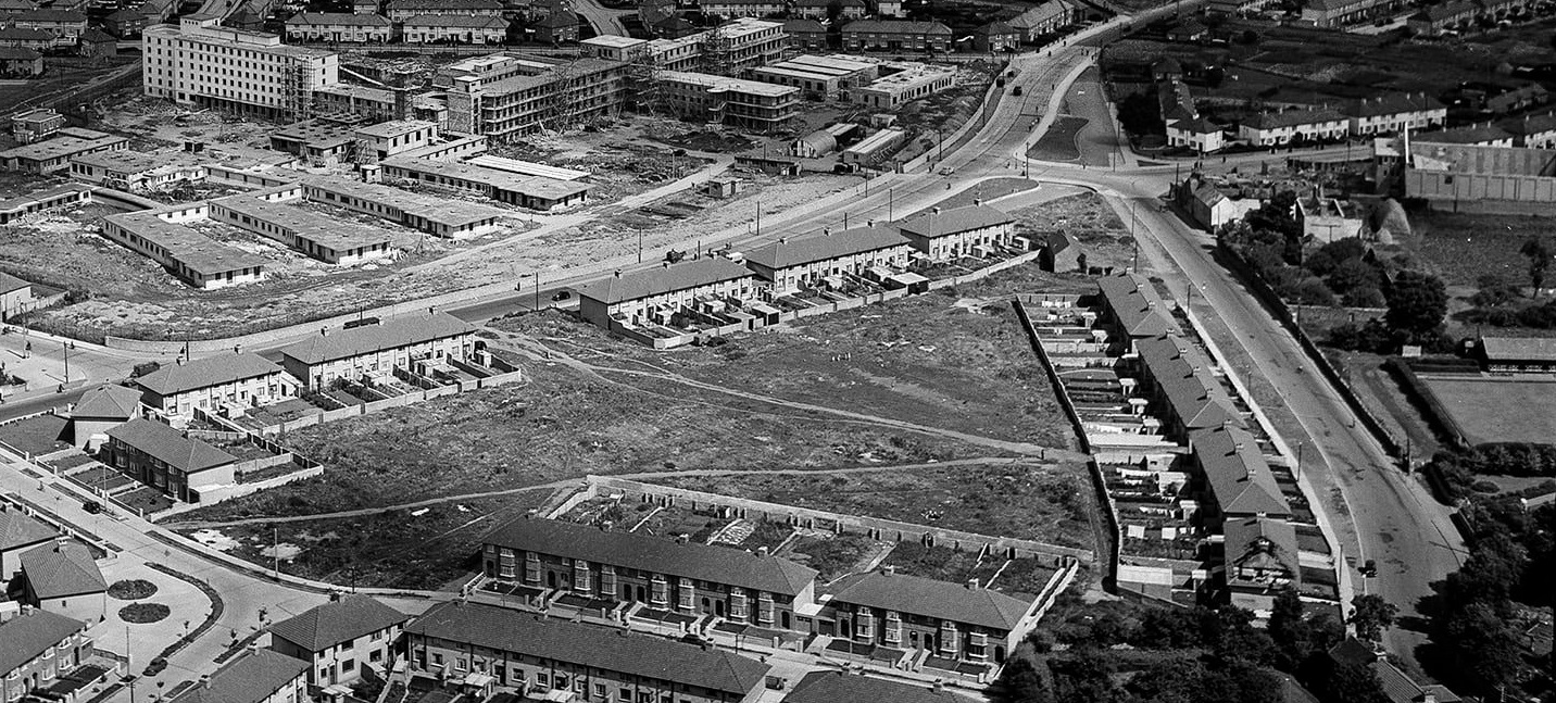
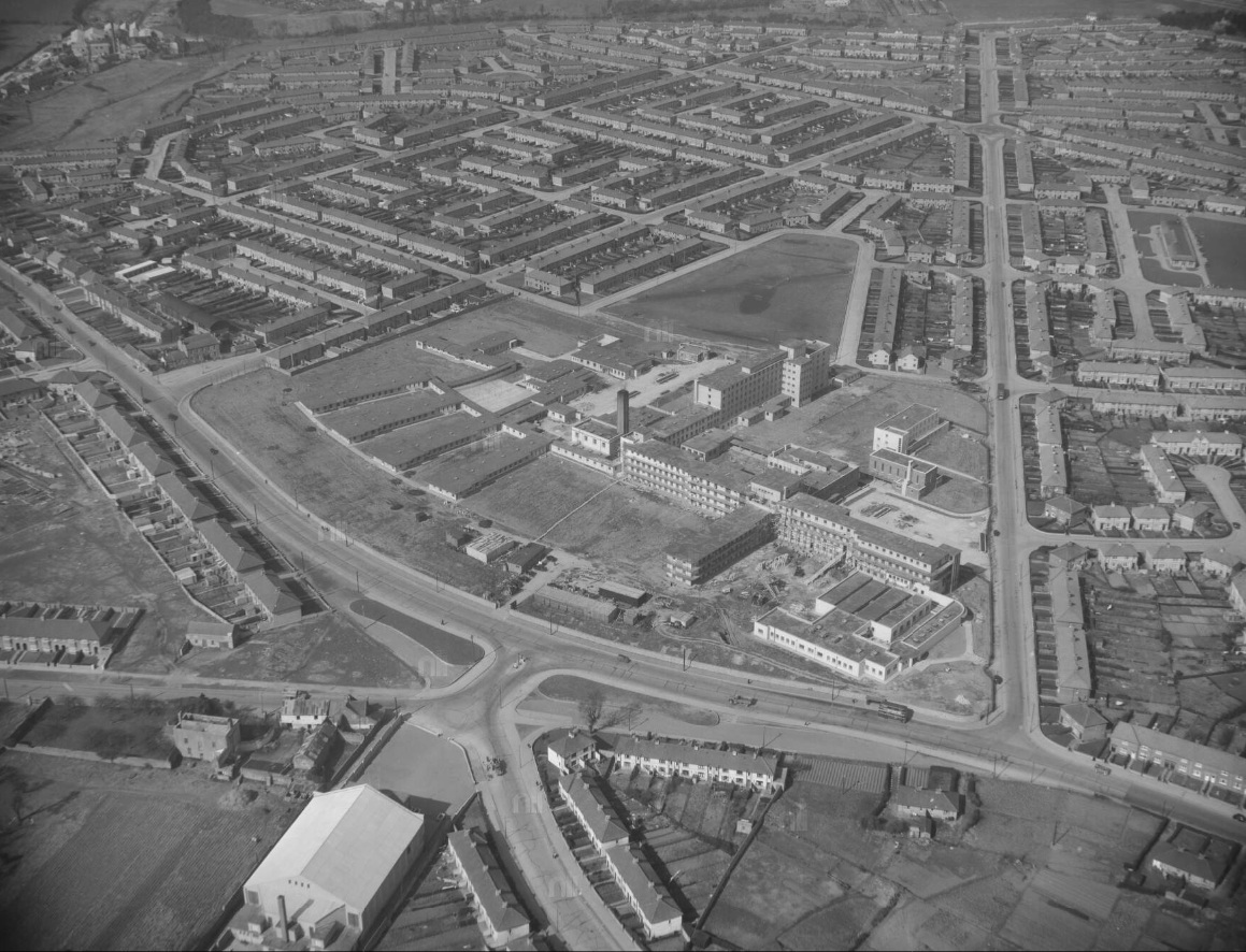
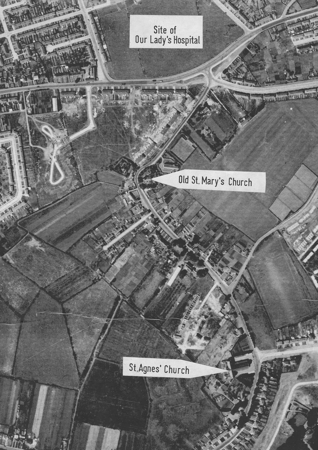
Aerial photo of Crumlin, 1952.
Photo looks
down St.Mary's Road into Crumlin.
Collins farm would be on RHS.
From
The Old Drone: Norman Ashe Aerial Photographic Collection.
See full size.
Aerial photo of Crumlin, 1955.
From Morgan Aerial Photographic Collection.
Image from NLI.
See full size.
See similar shot.
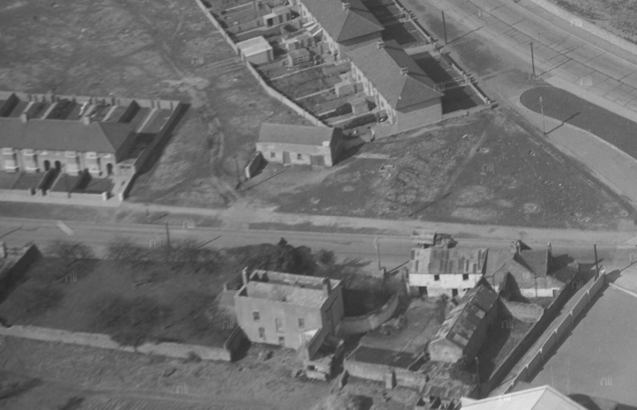
Close-up of the possible remnant of the
Collins buildings, on the top side of the road.
Looks like an outbuilding rather than the farmhouse.
On the bottom side of the road is
Crumlin Park,
which seems derelict and was demolished soon after.
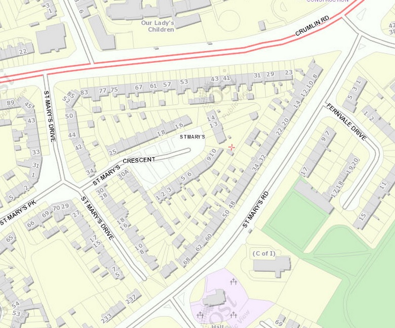
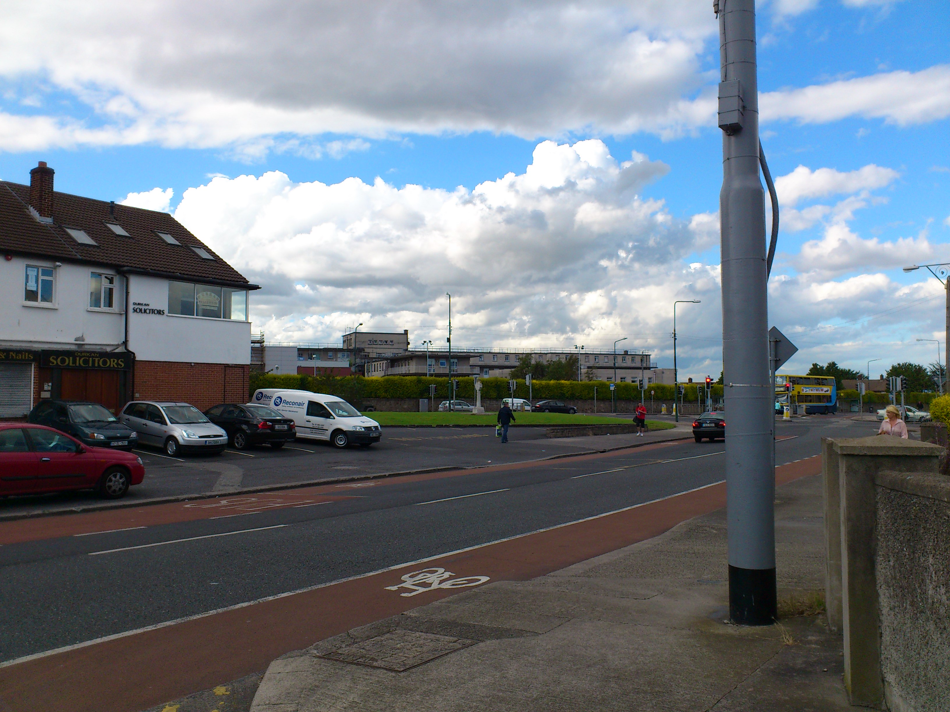
3D view
of the location today.
The new
"Crumlin Cross" is in the small green at the junction.
From Google Maps.
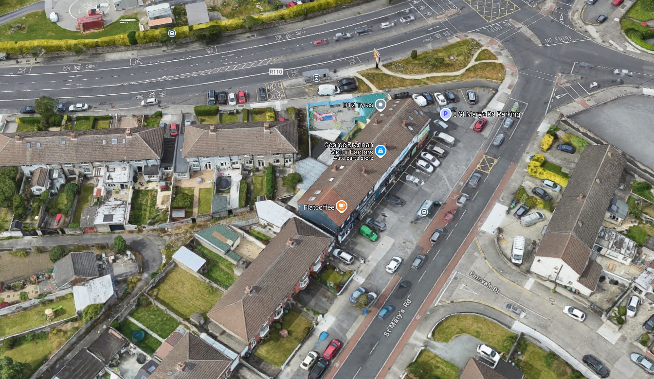
See
street view.

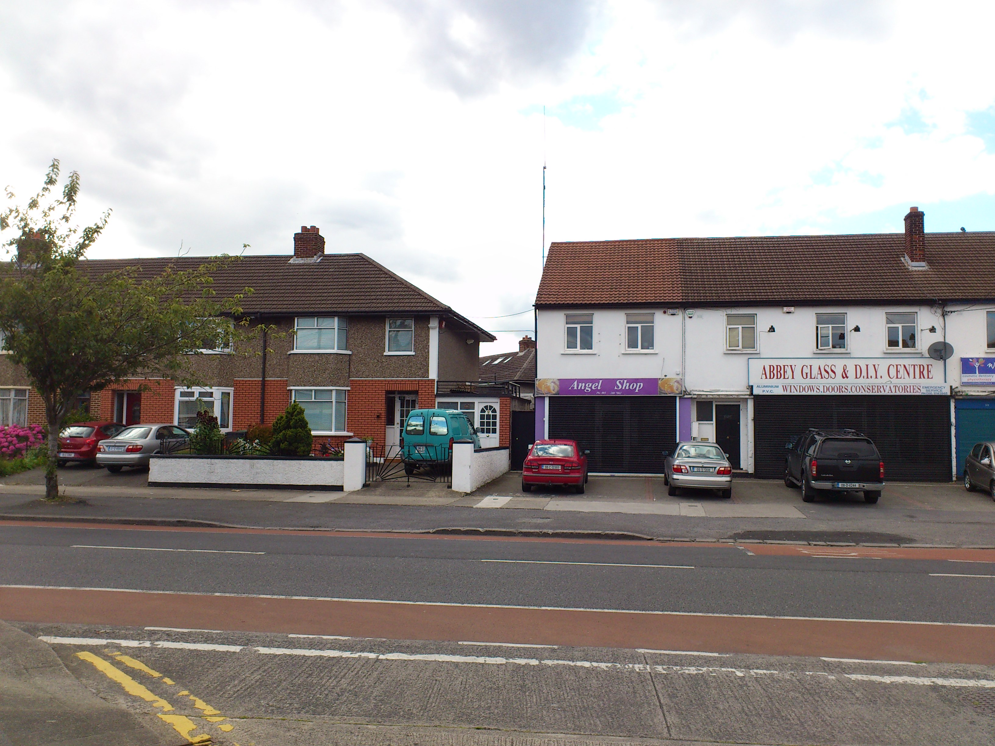
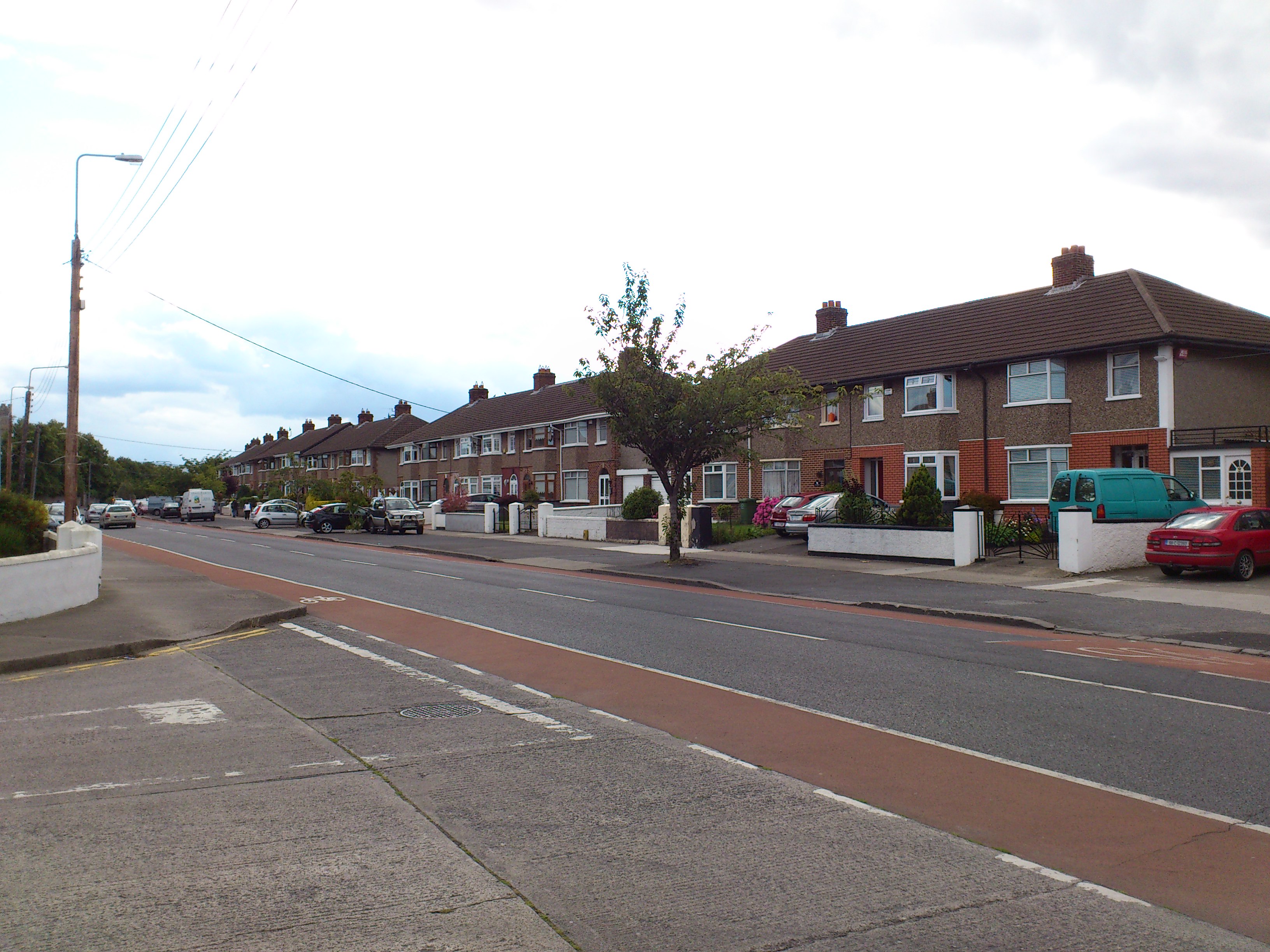
St.Mary's Road, looking towards Crumlin Road. Note the new "Crumlin Cross".
The apparent location of the Collins house would be the row of shops and houses to the left here.
Photo 2012.
See full size.
See other photo.
See view looking
left into Crumlin
(this would be Collins land).
Please donate to support this site.
I have spent a great deal of time and money on this research.
Research involves travel and many expenses.
Some research "things to do"
are not done for years, because I do not have the money to do them.
Please Donate Here
to support the ongoing research and
to keep this website free.
